Discovering Cambodia's diverse landscapes
Journey through the physical heart of Cambodia. Explore its mountains, rivers, and unique natural wonders, gaining a deeper understanding of the country's breathtaking geography.
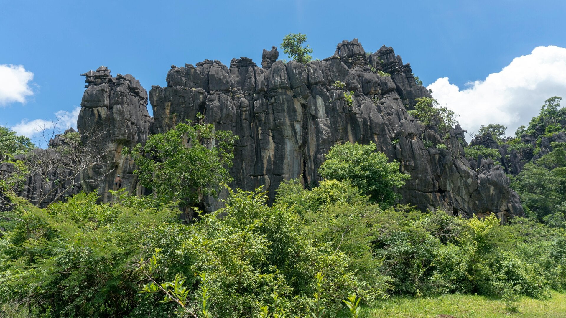
Cambodia’s mountains
Cambodia's mountains all act as natural borders. The Dangrek Mountains form a natural border with Thailand to the North. Further south, the Cardamom and Elephant Mountains rise, creating a border with the Gulf of Thailand. These ranges are home to Mount Aural, the highest peak in Cambodia with its highest point at 5,938 feet. To the east, the Annamite Mountains extend into Cambodia, influencing its eastern provinces. These highlands play a crucial role in the country's climate.
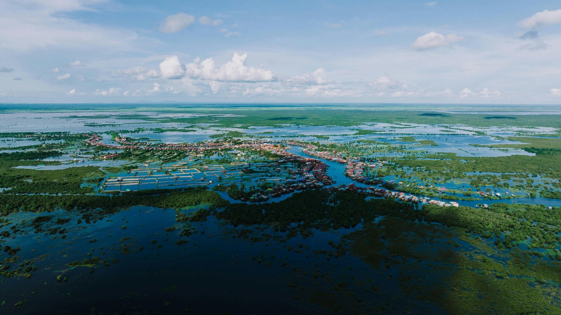
The Mekong and Tonle Sap rivers
During the monsoon season (May to October), the Tonle Sap river reverses its flow twice a year. The Mekong River's high water levels force the Tonle Sap River to flow upstream into the Tonle Sap Lake, pushing the water back into the Tonle Sap lake, reversing it.
Create Your Own Website With Webador